(in progress)
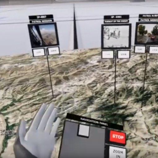
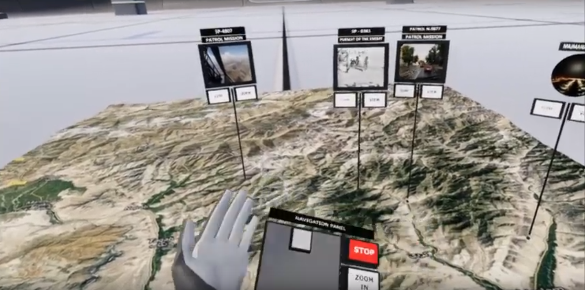
An application demonstrating the possibilities of visualizing the position of land transport elements on a map background. Visualizations of this type can be supplemented with other data, e.g. image material from on-board vision systems. This way of presenting data increases situational awareness of the managed transport fleet.


