(in progress)
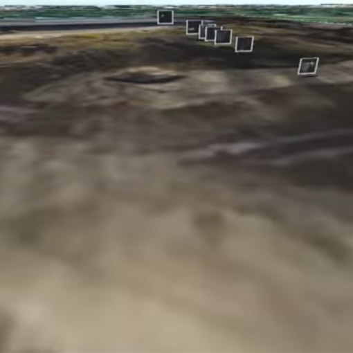
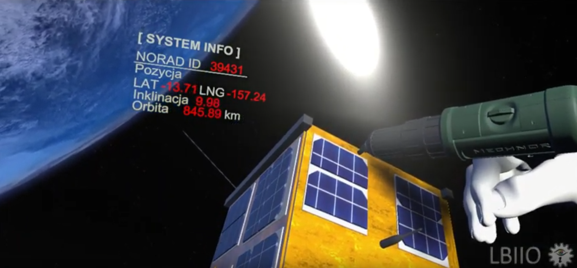
This application presents the possibilities of applying a virtual environment to the visualization of spatial data: geographic, weather.
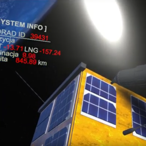
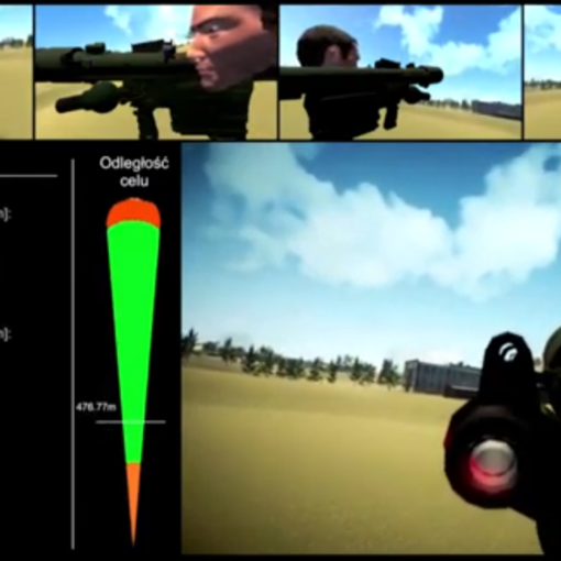
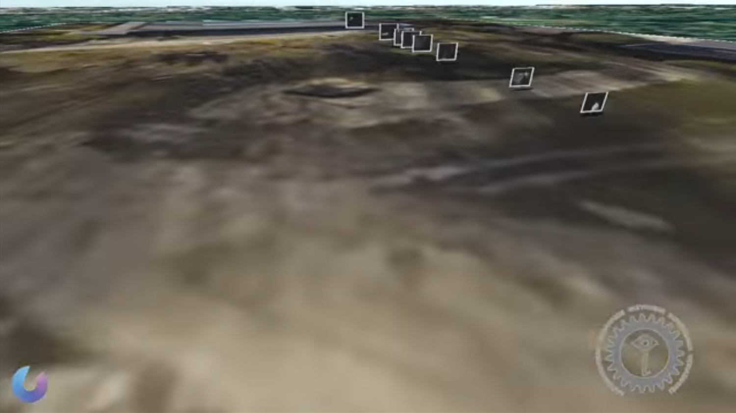
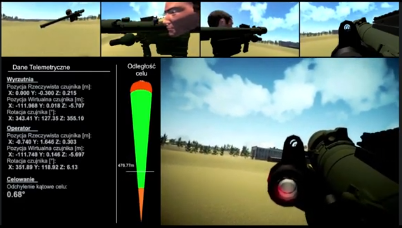
These data can also be supplemented by information from various types of field sensors (eg, informing the geographical location of objects – people, equipment) as well as photographic and video material provided by these objects.
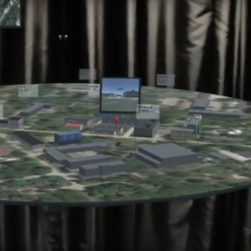
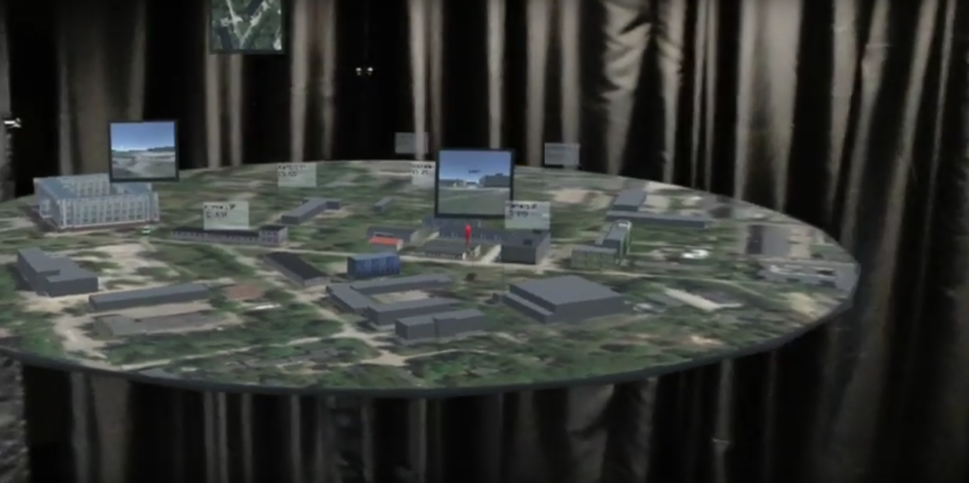
All these functionalities offer the possibility of developing a fully functional management system (eg. for command control or crisis management). Such systems can complement classical solutions, eg. as an alternative to emergency situations. They can also be used as mobile command centers.

