(in progress)
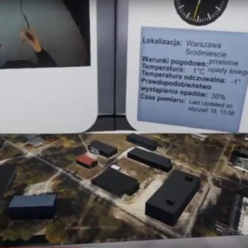
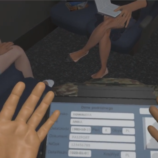
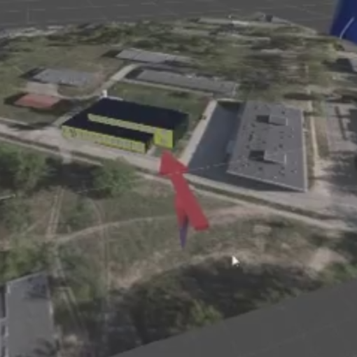
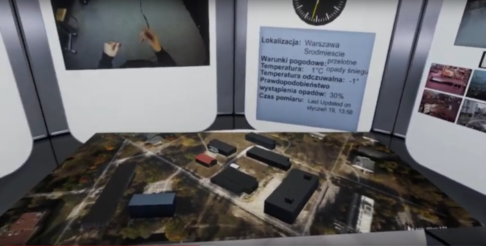
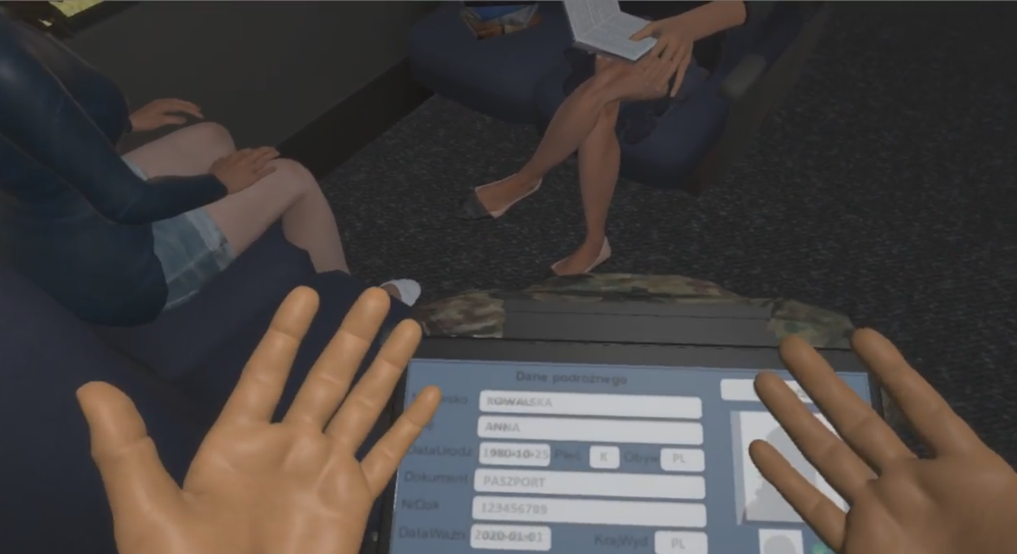
An application showing the possibilities of visualization and interaction with spatial data using a virtual environment. This solution is a step to build functional mobile VR GIS systems. The use of virtualized interfaces makes it possible to move away from costly physical human-machine interfaces.

