(in progress)
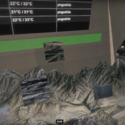
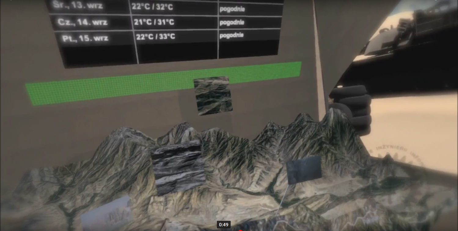
The application working in augmented reality mode shows the possibility of presenting GIS data. The user can freely move relative to this data (zoom in, zoom out, view from different perspectives). Hololens goggles were used for visualization.

