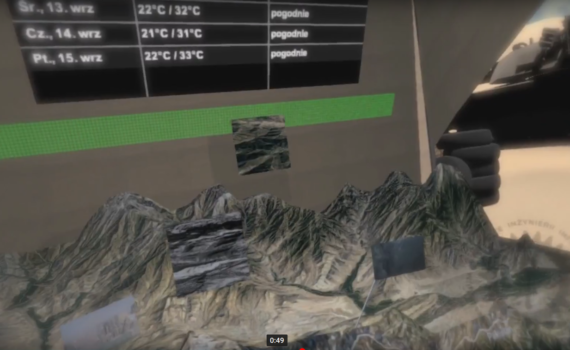
* (in progress) This application presents the possibilities of applying a virtual environment to the visualization of spatial data: geographic, weather. These data can also be supplemented by information from various types of field sensors (eg, informing the geographical location of objects – people, equipment) as well as photographic […]
Monthly Archives: June 2015
2 posts
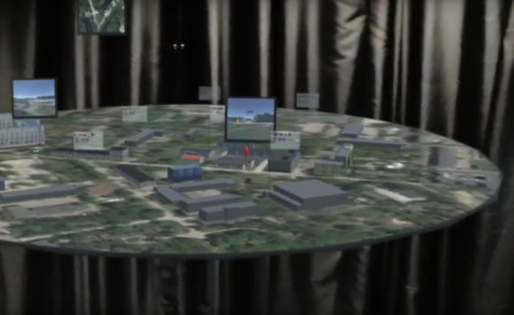
. (in progress) The application working in augmented reality mode shows the possibility of presenting GIS data. The user can freely move relative to this data (zoom in, zoom out, view from different perspectives). Hololens goggles were used for visualization.

